Friday 6th July,
So the holiday's over, we're a week back into the daily grind and it's time to try and get back to at least one decent walk at the weekend. It's been the best part of 18 months since I started on the 4 day working week experiment and I've managed 56 posts in that time. This doesn't seem like a bad return, but I do feel we could have done better. However we are where we are and this week we're parked up in Ballater next to the old railway station, now a museum, looking for the start of a walk lifted from the Walkhighland website called
Sgor Buidhe Circuit.
 |
| Plenty signs but nothing that mentions Sgor Buidhe |
There's no real problem since I already know where we're going despite the fact that there's nothing on the O & S map, or Bing Maps for that matter, that mentions the name Sgor Buidhe. The reason I know where I'm going therefore is a wooden signpost on the Pass of Ballater road that points uphill along an estate track. It's a fair bet that with a name like Sgor Buidhe we'll be going to be uphill at some point. So we made our way along the platform of the old railway station before turning through a housing estate and out into the country. The extension of the railway line west from Ballater to Braemar was never completed because, so the story goes, Queen Victoria didn't like the idea of it passing too close to Balmoral Castle. Ah those were the days, when proper people were in charge. Couldn't happen these days of course - well not unless you're a rich American who wants to build a golf course on land designated as a SSSI! After all there are rules and there are rules.
 |
| Ballater Railway Station |
 |
| This is the kind of navigation I like! |
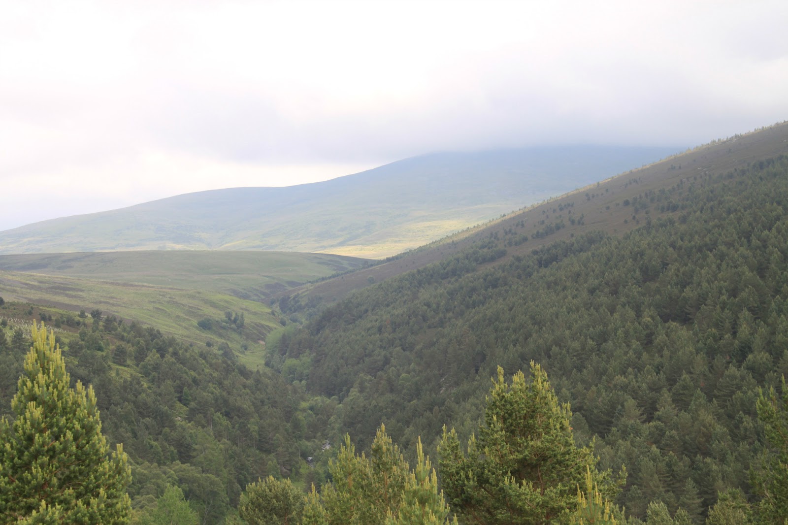
Moving on from that little rant, we crossed the Pass of Ballater road and onto the signposted track to Sgor Buidhe. We'd chatted briefly to an elderly resident on our way through the housing estate who explained that the name Sgor Buidhe actually refers to the cliffs we are now walking below. It's a bit of a grand name for what are fairly unassuming crags that overlook Craigendarroch Hill and Ballater, but there you go, mystery solved. The walk up under and eventually around the cliffs was straightforward but steep enough in places to keep us honest and to work up a wee bit of a sweat. The views along Deeside, both east and west, opened up nicely as we cleared the trees and the weather improved from damp and cloudy to just cloudy.
 |
| Upwards, ever upwards but the views open up and make the effort worthwhile. |
The steepest part of the walk topped out with some nice views up the Tullich Burn towards a cloud covered Morven.
 |
| Morven under the clouds |
The weather remained hazy as we wandered along what turned out to be the access road to a telecoms mast sitting just about above the treeline and we stopped here for a while to drink coffee and eat chocolate. Just as an aside, I think we do more of that now than at the start of these walks, eat chocolate and drink coffee that is.
 |
| Looks like a telecoms mast but to us it's a coffee shack! |
After some well-earned sustenance we retraced our steps for a while before turning onto a much fainter and boggier track and heading uphill again for a while towards Creagan Riabhach. The weather continued to improve and we finally got to see all of Morven as well as the distinctive Mount Keen, but Lochnagar stayed under the cloud.
 |
| A now clear Morven |
 |
| A distant but clear Mount Keen |
 |
| A still cloud covered Lochnagar |
Now that we were above the trees, and with the weather clearing, we had a very pleasant high level walk towards the barely discernible top of Creagan Riabhach. In actual fact it isn't a top as such, merely a white boulder that is, allegedly, the highest point on the long grassy ridge.
 |
| Highest point for today at 547m |
There were some nice views from the top but a wee shower of rain, and with the wind picking up, we headed down the other side towards the shelter of the trees. The rain passed and the sun reappeared so we stopped on the fringes of a fine old birch wood for lunch as well as more coffee and chocolate.
 |
| Fine old Birchwood looking a bit unworldly! |
The path down turned more and more boggy until we were forced off it and into the woods. But it was easy going with thick moss underfoot and eventually we broke out of the woods into farmland, picking up the track past Abergairn farm then out onto the Pass of Ballater road. We passed a site marked on the O&S map that suggested there were the remains of a castle, but if there was then there wasn't a lot of remains that we could see! The only other item worth noting was one of these facts that you know but have no idea why you know. In this case it was to do with the bridge on the A93 that crosses the Gairn River. I knew, but I don't know why, that the original bridge was still in position under the modern road bridge. I was not wrong.
 |
| Spruced up and strengthened no doubt, but still there. |
The walk back into Ballater was along the route of the railway line that never was with the river Dee on our right. This had been a nice day out. Not particularly long or strenuous, but pleasant with some nice views. We had left the car around 10.30 and arrived back for ice cream from the confectioners at the station car park, (much recommended), at around 4 o'clock. As ever it could be done much quicker, but then you'd need to wonder why.
J
More Photos